SODA LAKE LOOP
NOVEMBER 23, 2010
Some time last night I decided I just did not see myself going to work for the rest of the week, so I took it off! I did not figure I would get to ride today because the weather was calling for a 70 percent chance of rain by 1300 hours. I just figured I would get up when I woke up and see what the day looked like. As normal I was wide awake at 0600. I tried to go back to sleep but that just does not happen for me. At 0630 Luke was up and appeared to be ready for his morning break and breakfast so I hit the floor. Did a quick check of the conditions outside. Yes, it was a little cool. Yes, there were some clouds in the sky, but there was also sunshine! Came into the house and checked the dopler. Nothing showing between me and the coast. Still calling for rain by 1300. Well, if I leave by 0900 that is 4 hours of riding befor the rain, right? Question was, were to go? I chose Soda Lake and the Carrizo Plains. I had not been out there in a while and it was fairly close to home if Mother Nature decided to wash the GS for me.
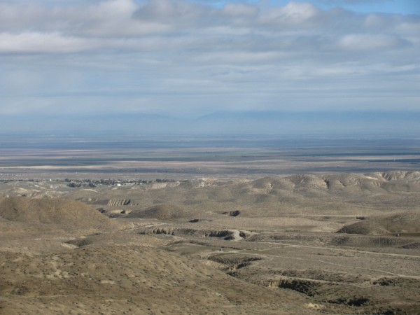
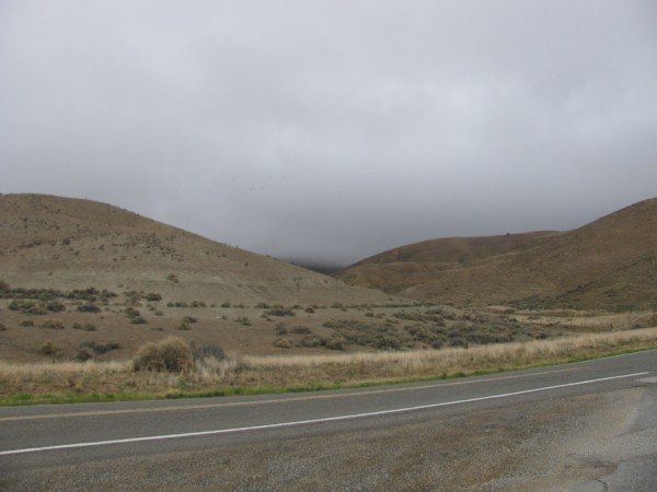
As you can see, looking to the east the weather did not look all that bad. White puffy clouds and clear sky. The wind was not blowing and the sun was warming things up nicely. I stopped here to eat some jerky and enjoy the view. I really had planned on taking my time today and stopping a lot and taking a lot of pictures. I took a few pictures and did not stop a lot. Go figure that one!
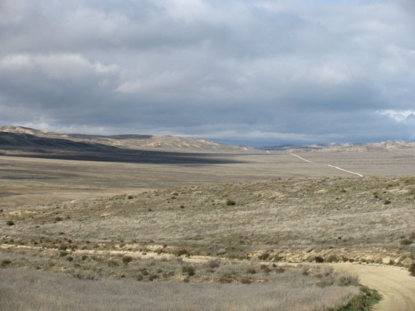
So I rode up over a ridge and started down into the valley. You can see the long straight road. That I believe is Simmler Soda Lake Road. Did not appear to be much fun at all. I kept going a little further down into the valley and came to a fork in the road. I knew what was on the right. Did not know what was on the left. I went left!
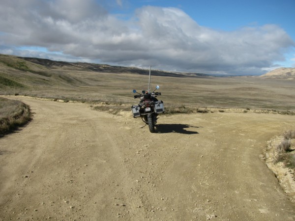
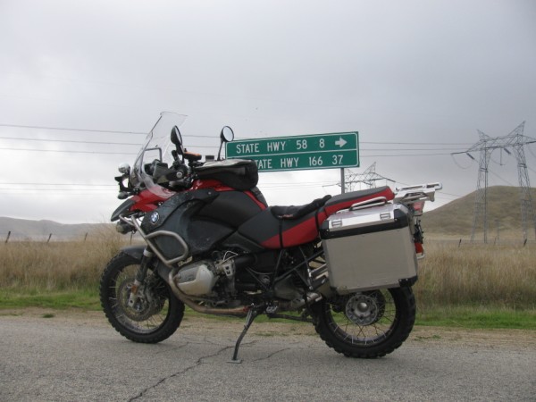
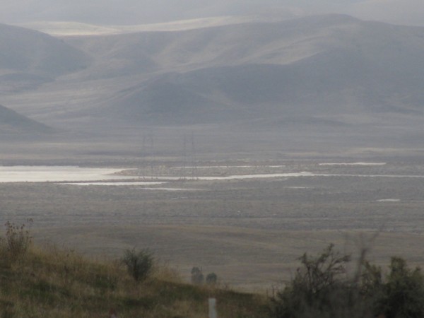
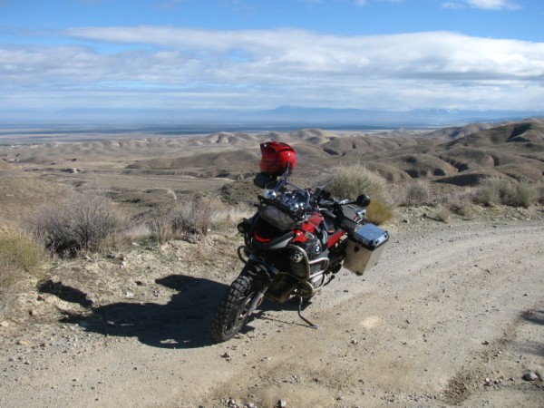
Okay, so the un-named road on the left turned out to be a pretty nice road. I would have stopped and taken some pictures of it; however, there were men with guns hunting god knows what and I don't trust many folks with a gun in their hand. I figured it was best just to keep a moving along. This un-named road turned to the south and intersected with Soda Lake Road. According to the sign it is only 42 miles to Hwy. 58 which I was planning on taking back home. I have all day to cover 42 miles. This is going to be a nice slow trip! So, I get out onto the plains and I see this! What you can not see is it is also raining!
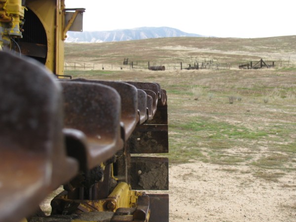
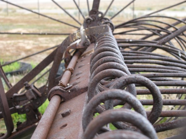
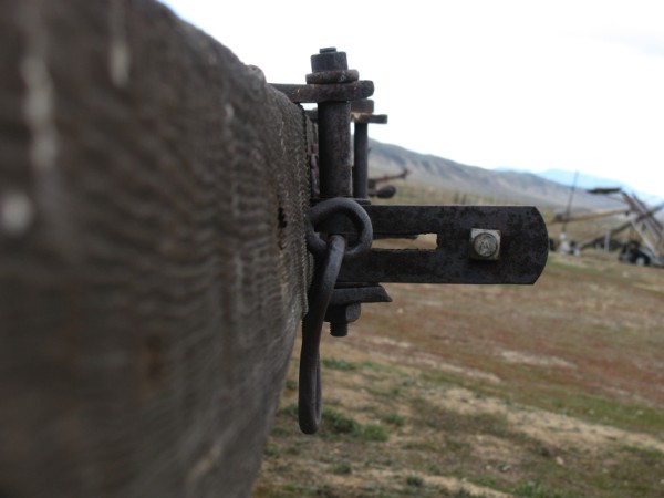
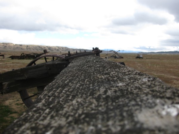
I was not going to let a little bit of rain put too much of a damper on my day. I did want to take some pictures of something! I stopped at Traver Ranch and took some pictures of the farm equipment they have there. I got all artsy (for me) with the camera so bare with me for a few pictures.
Okay, that is enough of that! It was starting to rain a little harder. The wind is starting to pick up and the temperature is dropping. I am on a dirt road and I don't know how far I have to go to get to pavement again so I decided to pick up the pace. I was headed west which appeared to be heading right into the storm but it did not seem too bad. I made it to the 7Mile Road cut off with just a touch of rain.
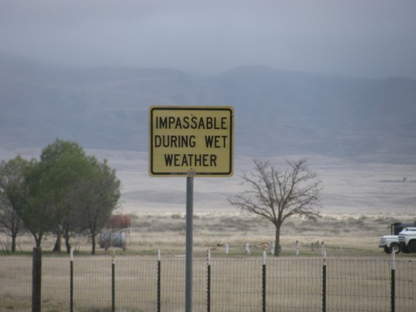
I was really hoping it was going to take more rain than this to make 7 Mile Road impassable!
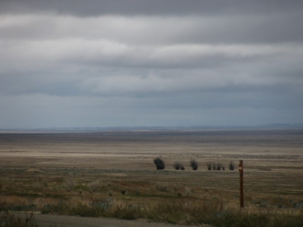
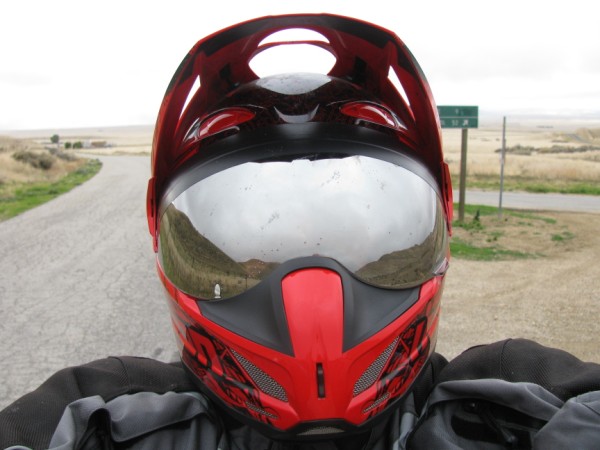
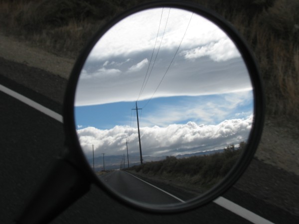
Turns out 7 Mile Road was passable and I made it up to Hwy 58. Stopped at the intersection to put my heavier gloves on and look back at from where I had come. Looked like the weather had passed through without much fury! However, it did not look too good going east on Hwy. 58. Snapped a couple of pics and headed into the soup!
Well, I made it over the wet Hwy 58 pass and headed for home. As I was heading towards Shafter I took this last parting shot of the storm I had just out run!